
Oregon Highway 35:
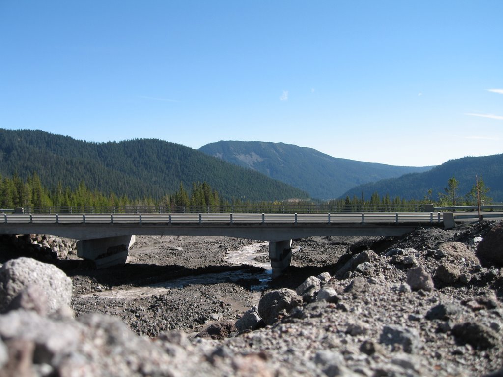
White River Bridge on Oregon Highway 35 to Hood River (Kim Russell):

After: photo from kptv.com >
(This railing is about 3.5 feet high)

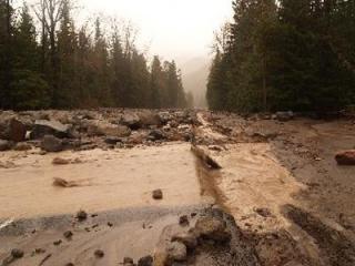
Heading West on 35, the road right before you reach the White River Bridge (in before/after previous pictures). There is usually asphalt there.
(Photo by kptv.com)

More Highway 35 erosion (photo by: kptv.com)
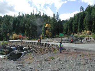
Pollalie Creek Crossing-After >
Both images are taken from http://www.fhwa.dot.gov/engineering/hydraulics/pubs/mthod/poster/poster.cfm


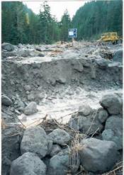
Newton Creek-After >
Both images are taken from http://www.fhwa.dot.gov/engineering/hydraulics/pubs/mthod/poster/poster.cfm
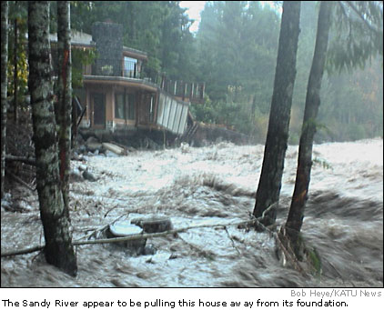
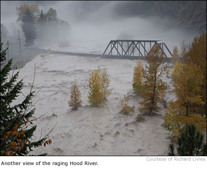
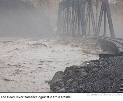
Various flood Photos from Across Oregon taken from: katu.com (news)


-Kim Russell-


No comments:
Post a Comment